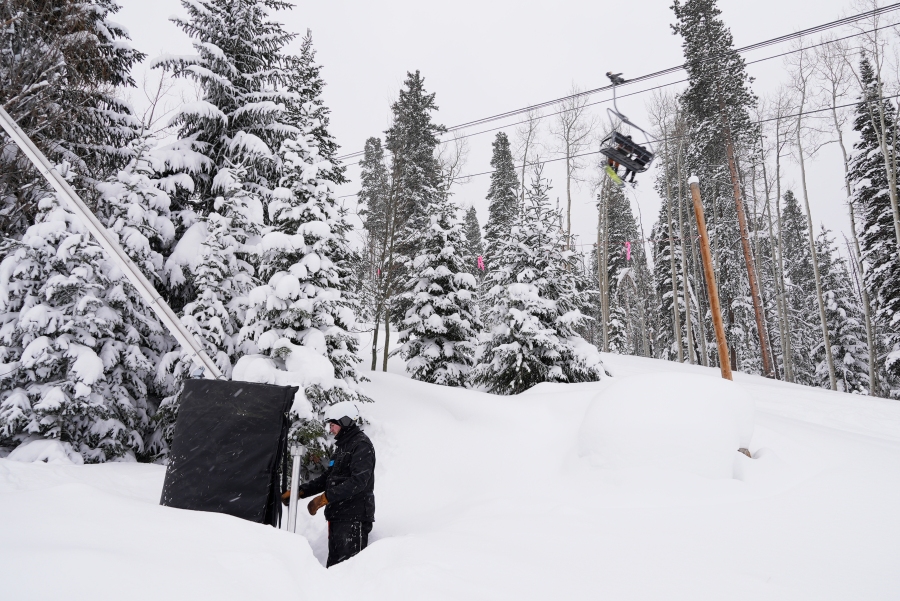
COLORADO SPRINGS – While it feels like we have had a good amount of snow lately, the reality is we need more to help keep snowpack near normal across the state.
Colorado state climatologist and director of Colorado Climate Center Russ Schumacher said recent snow events have brought less snow to the mountains although areas along the front range have improved.
January helped the mountains with above average snowpack numbers but with a lack of snow the last few weeks for the high country, snowpack numbers are lower than where they were a month ago.
“We were way above average at the first week of January and then it’s been sort of flat. Because a lot of those high elevation stations, especially on average, should be getting one to two inches of new precipitation or new liquid every week. There hasn’t been much since early January,” Schumacher said.
Statewide snowpack as of Feb. 14
Statewide snowpack is now at 96% of normal–which is still good–but to compared to numbers in early January, snowpack neared 130%.
“The mountain areas the average snowfall accumulation should be a lot. We are in that peak part of the season where storms should be coming repeatedly but we haven’t seen that now for over a month,” Schumacher said.
Yet, the trend of recent storms has aimed elsewhere, with most aiming towards the front range urban corridor rather than the high country.
“What we really need are the storms that set that firehose of moisture into the mountains and get the big storms that get a foot or two sort of like we had at the end of December early January you know we are going to need a few more of those as we get into the spring here,” Schumacher said.
We do have a chance for more snow to impact the state this coming Wednesday, but as of Monday weather models, the storm starting to weaken.
Stay with FOX21 Storm Team for updates on our snow chances and state snowpack.

