(SOUTHERN COLORADO) — A powerful cold front sweeping through the region on Wednesday, Sept. 4 will bring some of the first fall-like weather of the year. This front is expected to drop temperatures by roughly 15 degrees on Thursday.
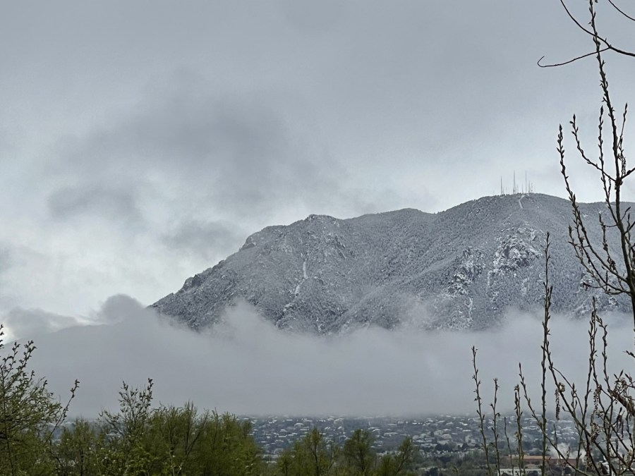
The front is also expected to bring a good amount of precipitation to the region with the best chances for showers and storms on the north end of the viewing area. Showers and storms will be likely for the Pikes Peak region with perhaps a dusting of snow for America’s mountain.
One thing meteorologists look for when predicting precipitation is consistency. There are several different numerical models that help guide our decisions but they don’t always agree. Above, we have the HRRR model that shows showers, thunderstorms, and yes — even snow in and around Pikes Peak early Thursday morning. The blue dot circled in red highlights the possibility.
Other models and sources disagree with the chance for snow on the mountain but disagreement is common for situations like this. The first snowfall of the season can sometimes throw the weather models off.
According to the National Weather Service, Pikes Peak may see one to three inches of snow Wednesday night. Colorado Springs and Pueblo aren’t likely to see their first snowfall of the season just yet though. In fact, on average, the Springs doesn’t see their first measurable snow until October 19th. Pueblo often has to wait all the way until November 4th.

