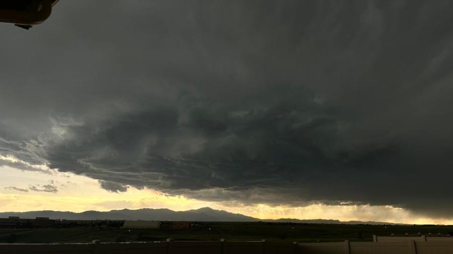
(SOUTHERN COLORADO) – Abundant water in the atmosphere will combine with some energy moving up from the south and wind shear to make severe thunderstorms likely on Tuesday afternoon, June 24.
The most likely area for severe storms, and coincidentally the largest hail, looks to be from I-25 to Highway 71 and north of Highway 50. Any storm on Tuesday will have the potential to produce heavy rain, and flood-prone areas, including local burn scars, should be aware of the possibility of flash flooding.
Storms will intensify rapidly as they move over the Front Range in the early to middle afternoon before heading east over the plains during the evening. They’ll gradually lose intensity after the sun goes down.
Lots of water streaming up from the sub-tropics overnight will keep the threat of a shower or rumble of thunder going into early Wednesday morning, particularly over the mountains.

