(SOUTHERN COLORADO) — Another round of rain and storms is in the forecast this week, and there are several parameters that meteorologists look for to see upticks in rain chances. One important upper-level feature that meteorologists watch closely is something called a shortwave, or shortwave trough.
If you’ve ever heard a meteorologist say “a wave of energy is moving in,” this is exactly what they’re talking about.
A shortwave is a small disturbance in the mid-to-upper levels of the atmosphere. It moves along with the jet stream, which is the fast-flowing current of air high above, and creates rising motion, which is a key ingredient for thunderstorm development.
This rising motion helps pull moisture upward and can enhance instability in the atmosphere, especially when surface conditions are already favorable.
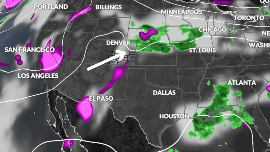
In the upper-level map pictured below, the ripple or “kink” in the flow is a shortwave. As it moves through, it often brings lift and energy into the area, and in many cases, that translates to rain and thunderstorm development, just like we may see this week.
Understanding shortwaves gives us a better idea of when and where storms may develop, even if we don’t always see major surface features like a cold front.
So next time you hear a “wave of energy” or “upper-level disturbance” mentioned, you know it’s a shortwave at work, and it just might bring rain to your neighborhood.

