COLORADO SPRINGS, Colo. – After an unsettled start to the weekend, winter weather will make a return to the region on Sunday into the the upcoming workweek.
A series of low-pressure systems moved into Colorado Friday night into Saturday bringing much colder temperatures and snow. Sunday’s system will bring the chance for widespread snow and accumulation.
Snow will start light and spotty early Sunday morning, but after sunrise snowfall will increase with stronger bands possible.
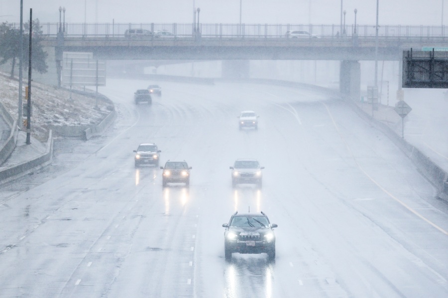
Winter Weather Advisories have been issued as heavier snow bands will affect the I-25 corridor region. Plan on slick and snow covered roads and reduced visibility through the morning and early afternoon.
Winter Weather Advisory issued until Sunday night over the I-25 corridor and mountains.
The mountains will be the biggest winners with this system as snow could become heavy at times. Travel may also become difficult to impossible. Be prepared for winter travel if you plan to travel to the high country.
Snow from Sunday’s system will start to wind down through the evening but another system is quick to follow as we start the workweek.
Monday’s system will be weaker than Sunday’s and focused mainly on the mountains. Some may pick up 1/2 inch to 1” along the Front Range, but snowfall will be light into Monday night.
As for totals, communities along the Front Range could see 2-7” inches of snow by Monday evening when the system finally moves out. Our highest amounts will focused west of I-25 into the foothills. Light accumulation of an inch or less is expected over the Eastern Plains.
Colorado’s mountains could see 10 to 24” inches of snow from Sunday and Monday’s systems.
Projected snowfall amounts from Sunday to Monday night. Heavy snow bands will be possible and could increase snow amounts.
Tuesday will bring warmer and drier conditions for the middle of the week, before another shot of cold air and snow arrives Thursday. Stay with FOX21 Storm Team for the latest updates as we track what’s to come.

