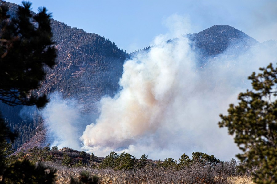
(SOUTHERN COLORADO) — Conditions once again appear favorable for fire weather concerns heading into the end of the week and the weekend. Portions of the viewing area are still recovering from the wildfire that burned just west of the Air Force Academy last weekend.
A new storm system will drop down from the northwest, once again accelerating our winds and drying everything out. Dry and windy conditions will lead to the elevated fire weather concerns.
Red flag warnings are active for all areas in bright red above. Specifically, from 11 a.m. to 6 p.m. on Friday. This includes the Springs area, Pueblo, Trinidad, and the surrounding region.
Beyond Friday, high fire danger will stick around for the entire eastern plains. A fire weather watch is in effect for Saturday with even faster winds expected. The fire weather watch will likely be upgraded to a red flag warning as we get closer to the weekend. Here’s a look at how our winds may evolve over the next couple of days.
Saturday appears to be the windiest, and therefore fire danger will likely be highest. Winds may gust 30 to 40 miles per hour with some spots, especially some of the mountain gaps, seeing locally higher speeds.
After the windy, warm, and dry couple of days, a brief window for snow chances will exist mostly for the mountains. Models aren’t quite in the best agreement just yet, but the chances for snow at the lower elevations aren’t looking great.
Be sure to stick with the FOX21 Storm Team for future updates as more information and data becomes available.

