Here’s a breakdown I wrote earlier this week about an emerging weather pattern that indicated potential for a major storm next week. As we advance through the forecast process I detailed in that article, we’re now five days out – and the scenario for a major storm looks more likely.
I’ve observed the term “Albuquerque Low” get overused over the last couple of decades because it’s been used incorrectly. Here’s the deal: not every storm that goes south of Colorado across New Mexico is an “Albuquerque Low” – but the storm next week fits the bill.
Not only is next week’s storm going to be a mature cyclone, it will have a true connection to cold air from the north, it will bring moisture with it from the Pacific Ocean, it will have access to moisture from the Gulf of Mexico, and all of these ingredients will be combining to produce heavy snow and quite a bit of wind as the storm moves through.
Here are what the highlights of timing look like as of Friday morning:
TUESDAY AFTERNOON: Snow develops at ski resorts – Sunny & warm over the plains
TUESDAY NIGHT: Snow spreads east over I-25 – Cold front arrives
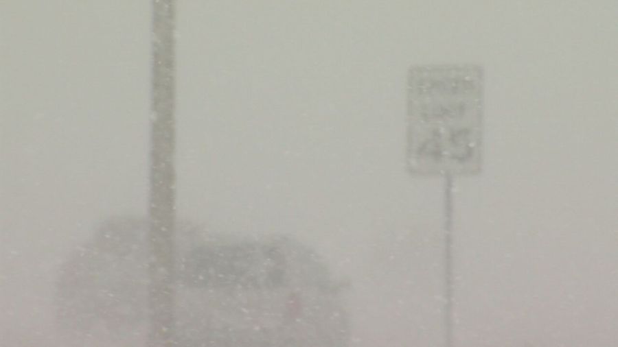
WEDNESDAY MORNING: Heavy snow – Falling Temperatures – Increasing wind – Low Visibility
WEDNESDAY AFTERNOON: Snow continues – Strong Wind – Low Visibility – Blowing/Drifiting Snow
WEDNESDAY NIGHT: Early blowing/drifting snow – Difficult travel continues – Decreasing snow – Gradually decreasing wind
Terrain will still play a role in terms of impacts and snow amounts, it always does in Colorado. The mountains in the southwest part of the state, the mountains south of Pueblo, and the higher terrain of the Pikes Peak Region could see a foot of snow or more. Wind over the Palmer Divide and Raton Mesa, perhaps even parts of the plains could produce 3-5 foot drifts by late Wednesday or Wednesday night.

