A cold front moving through Friday morning kicks up the wind and makes for a colder day compared to Thursday. Snow moves into the Denver metro area in the mid-to-late morning and then heads into the Pikes Peak Region during the afternoon.
This isn’t a system that will produce uniform snow. Expect bursts of snow in bands oriented from the northwest to the southeast. This means some areas will get snow that is more intense than other areas. If you think thunderstorms in the summer time, you’re on the right track. You may be under the burst while a neighbor a couple miles down the road misses out. Or vise versa!
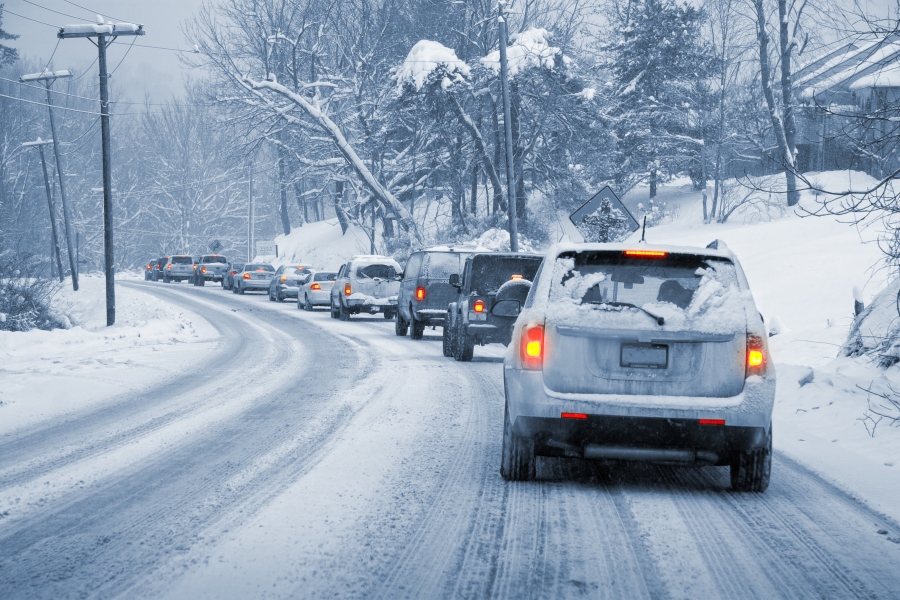
Expect travel conditions to deteriorate for and during the evening commute – but there will be variability over some pretty short distances. Visibility will drop under the heaviest showers and roads will slush or even whiten up as the heaviest bursts may but down snow at a rate of 1-2″ per hour.
Snow shifts south during the evening and ends overnight. Think of the Snow-cast you see below as a map of “potential” versus “expected.” Sometimes we know the snow will be uniform and widespread across the area. This one is harder to explain because some areas will get more than others over some pretty short distances. As a generality, there is potential for a couple inches around the Springs and Pueblo. Some neighborhoods may get a bit more and some may not get much at all. Heaviest amounts should be over the eastern mountains as a rule.

