(SOUTHERN COLORADO) — The first snowfall for much of Southern Colorado is finally knocking on our front door. This comes after about 10 straight days of sunshine and temperatures near 70 degrees.
This system has also, notably, picked up a bit in intensity. Recent model runs are a bit more aggressive with bringing more favorable snow chances to the lower terrain. Light accumulations now appear possible for some by Sunday afternoon.
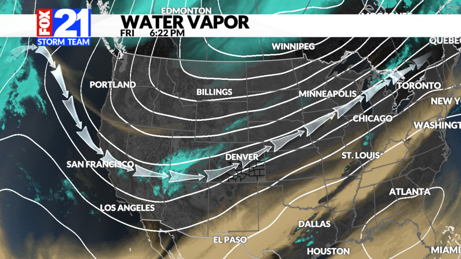
Here’s a look at how the timing might break down and what storm-cast is calling for:
Rain snow mix possible as early as Saturday afternoon up north.
A few flurries will be possible for the lower terrain late Saturday PM.
Better chances for snow arrive early Sunday – from north to south.
Banded snowfall is possible, leading to locally higher amounts.
Snow will push south through the front range and eastern plains
Icy, wintry mix possible for far Southeastern Colorado
The general timing of this system will be from late Saturday afternoon through late Sunday evening. The direction will be from north to south as a strong cold front moves in. A potentially icy, rain/snow mix will be possible over Southeastern Colorado.
As far as snow totals go, it doesn’t look half bad. This system may just pack a small punch. Here’s what the FOX21 Storm Team is currently thinking:
What makes this forecast a little bit trickier is the indication that we may see some heavier bands of snowfall set up. Depending on where these bands line up, snow totals will vary greatly. As it stands right now though, several areas just might see an inch or two of snow. That includes Colorado Springs, Pueblo, Walsenburg, Trinidad and several other places in the higher terrain.
There are also the temperatures that are certainly worth considering. The cold front that is likely bringing us some light accumulations will also bring a blast of cold arctic air. Here’s a look at what some of our highs may be this weekend:

