(SOUTHERN COLORADO) — Wild winter weather returns to the viewing area this weekend, just in time for the holidays. Right now, it appears that the biggest travel impacts will likely be late Saturday, Dec. 23 into Sunday, Dec. 24.
We have two systems that will be impacting the area over the next 72 hours. System 1 (above) will move in from the desert southwest late Friday, Dec. 22 into Saturday morning. Snow will impact the southern mountains where winter weather warnings are already in place.
Snowfall for the lower elevations and much of our northwestern mountains will largely hold off until System 2 arrives with a strong cold front. It will also bring some good dynamics for snow potential up and down the front range.
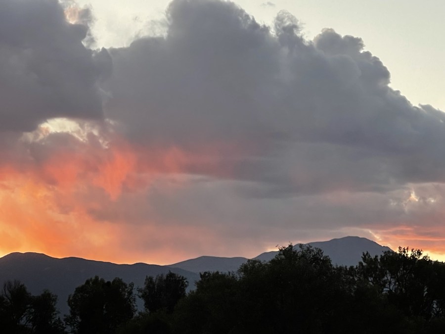
System 2 (above) may not look like much now, but it is organizing itself in the Pacific Northwest. Eventually, it will drop into our neck of the woods and bring some snowfall to the area. It will be mostly mountain snow, but the lower elevations may certainly see a bit.
Early Saturday morning the Front Range may see a light rain/snow mix push through the area. That will likely be the theme for the first half of this weekend. Temperatures will be fluctuating in and around freezing, which may lead to overall lower snow totals.
Most of Saturday afternoon doesn’t look half bad; System 2 then arrives Saturday evening bringing much more instability and better chances for snow. As you can see above, it will also likely feature a rain/snow mix with possibly some thunder too! Should the correct ingredients be in place, we may get a chance to see some pretty rare ‘thundersnow’ – which is essentially just a thunderstorm with snow.
Thundersnows are rare because most cold air events (such as snow storms) are very stable. On the other hand, thunderstorms happen in very unstable and warm environments (like the Spring) – so getting these two features to work together doesn’t happen often.
Late Saturday into Sunday should feature the best chance for snow across the area. Recent models are hinting at a snow band setting up over the eastern plains (as seen above) which could bring some light accumulations if the temperatures stay cold enough.
Here is what our current thinking is for snow totals across the area. Not overly impressive numbers for the Front Range, but it looks like the mountains could at least see several inches.
The real wild card in this setup may be the Eastern Plains where a heavy snow band could set up. Be sure to stay tuned to FOX21 for the latest forecast updates!

