SOUTHERN COLORADO — Our next big weather system is knocking on our front door, and this time around it could really pack a punch. This specific system appears to be setting up in almost an ideal location to bring multiple impacts and heavy snowfall to the area.
Current Weather Alerts:
Blizzard Warning
Winter Storm Warning
Winter Weather Advisory
High Wind Warning
The latest update from the National Weather Service, as of Sunday evening, brings an expansion of blizzard-like conditions to the Eastern Plains and new winter storm warnings for the Palmer Divide and beyond. The winter storm warning also includes places such as Castle Rock, if you happen to be commuting in and around that area Monday morning.
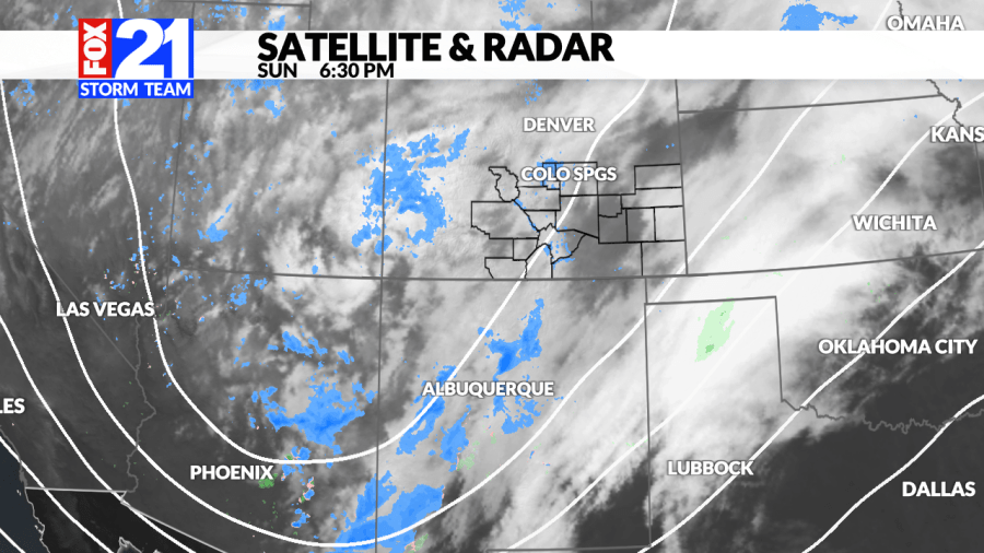
Timing for this system seems to largely be focusing on midnight Sunday – Monday evening.
The blizzard conditions are also a big issue, but mostly for people in and around the South Eastern Plains. Winds are expected to be gusting up to 70+ mph as our storm system tightens up across the region. High winds, low visibility and heavy snow will lead to blizzard conditions and extremely difficult travel.
Those with a keen eye for detail may have noticed that Colorado Springs and Pueblo missed out on a lot of the winter headlines. This system looks to be favoring a few specific spots and carving out a hole of less snow for others. Just because Colorado Springs and Pueblo might not see as much snow though, doesn’t mean they aren’t going to be impacted.
Wind will be the name of the game for counties highlighted in red from above. Winds may gust 60 to 70 mph around the area from 5 a.m. to 5 p.m. on Monday. Areas out east and down south will also likely see these high winds, but a blizzard warning typically trumps a high wind warning.
The windiest conditions are expected to be along the I-25 corridor and the Eastern Plains. Once the system fully departs by Monday night, the wind will slowly start to calm down.
As far as snow timing goes, here is what snow-cast is thinking for the next 24 hours.
Measuring the snow this time around will be rather difficult with high travel impacts and blowing snow everywhere. Winds gusting will make it especially difficult to get accurate measurements. With that being said, here is what the Fox21 Storm Team is thinking for snow numbers. Storms like this have a history of overperforming – just something to keep in mind!
The big snow ‘winner’ will be folks down south along the Colorado / New Mexico border. This system is expected to really ramp up that direction with winds throwing the snow in every direction. Everyone will need to use extra caution for Monday!

