(COLORADO SPRINGS) — The FOX21 Storm Team is monitoring a spring storm that could bring high winds and high snow totals for some for the early work week of March 3 including Monday night into Tuesday. Here’s what you need to know to prepare.
What We Know:
A potent spring-like storm will arrive in the area starting Monday night and continue in the area through Tuesday. This system is expected to gain energy as it moves into Colorado and brings high winds and snow to the high terrain and lower elevations.
In addition, this system is expected to tap into some moisture which means the snow will be pretty wet and slushy in some spots and the moisture could also act as a snow total multiplier and bring heavier snow potentially to Teller County and areas near Palmer Divide like Monument, Black Forest, Palmer Lake, Gleneagle, Calhan and into the gap between Monument and Castle Rock. It also means that some will get just rain while others will see snow.
The image below shows Sunday’s estimates where some will see rain (in green) and some will see snow (in white, grey, and pink colors).
As this storm arrives in the area on Monday, it will first bring high winds and high fire danger to some dry areas including areas near Highway 50, and into the Raton Mesa and Baca County where humidity levels are expected to be below 15%. A Red Flag Warning is in effect for parts of the SE plains Monday from 11 a.m. to 7 p.m. Southern Coloradoans are warned to be cautious with any ignition sources Monday.
As the wind continues to blow into the evening hours on Monday, we will start to first see rain and then eventually snow. It is expected that the snow will start to get heavier overnight Monday into Tuesday and bring high snowfall totals to Northern El Paso County and Parts of the Eastern Plains. A Winter Storm Watch is in Effect for Monday night into Tuesday.
Potential Impacts To Your Monday Night Into Tuesday
With this storm, you are going to want to watch out for 3 things:
High Winds up to 50 mph
Bursts of Heavy Snow especially for the Pikes Peak Region
Terrible Visibility
Heavy Snow For Some
As mentioned above, the moisture content in this storm as well as the system’s interaction with our terrain are going to determine how much snow falls and where.
Below is a comparison between two models: The European model and the GRAF model which the Storm Team consults in their forecasting frequently. As of Sunday morning, the European model and the American models were shown to have a similar forecast (which is on the left of the image below) of going quite low on storm totals. However, the GRAF (which is shown on the right) and other models showed more moisture content and more terrain interaction which is pretty typical for spring-like scenarios here in Southern Colorado. You can view the model comparison below.
Here are the preliminary snow totals for Tuesday for Southern Colorado and the Pikes Peak Region where the greatest terrain interaction is expected.
High winds and diminished visibility
This storm will also bring high winds. Winds are expected to gust up to 50 mph late Monday night through Tuesday afternoon. The winds will create the following issues:
Blowing Snow and Blizzard Conditions which will knock down visibility. In some places, you will not be able to see the road in some spots.
Danger to high-profile vehicles on west-to-east oriented roads.
Slick conditions
Wind chills will make it feel like single digits on Tuesday morning and teens in the afternoon.
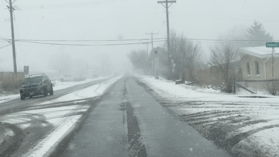
Road Conditions
As you can see it is advised to stay home or at least limit travel as much as possible due to deteriorating travel conditions. Make sure to tune into FOX21’s Storm Team Chief Meteorologist Matt Meister and Meteorologist Megan Montero will be live covering road conditions for Tuesday. You can also follow the Storm Team for the latest updates while not on air on the FOX21 Weather App.

