(SOUTHERN COLORADO) — Early Friday morning, Punxsutawney Phil did not see his shadow in Pennsylvania. This means Phil predicted an early Spring across the United States.
Less than 12 hours later, a snow storm hit Colorado.
Pikes Peak view from Erindale Park – Ginny
This particular storm had all of the chemical makeup necessary to bring a pretty healthy amount of snow to the region. It was also well placed to provide favorable upslope across the Rocky Mountains.
Upslope flow is a term widely recognized across Colorado as it is most commonly associated with our mountains. Wind, or flow, from a low-pressure system spins up over the region and backs into the higher terrain. The counter-clockwise flow brings in wind from the east and pushes it west. When the wind meets the mountains, it is forced straight upwards – encouraging enhanced precipitation.
See if you can spot the counter-clockwise flow in the video below:
This loop of the entire system helps highlight how these storm systems often interact with our geography. The Groundhog Day storm began late Friday and didn’t fully wrap up until Sunday morning.
Late Friday, the FOX21 Storm Team went up to Woodland Park with the Storm Squatch to cover the arrival of this system and knew that higher elevations would have the best chance to see snowfall first.
One of the big challenges with this system were the temperatures. The freezing level largely hovered above 6,500 feet originally, bringing mostly rain to the lower elevations and snow to the higher terrain. It was a big question as to when – or even if – the freezing level would drop low enough to bring meaningful snow to portions of the Front Range.
While heavy snow continued for the higher terrain, including Woodland Park (above), the lower elevations were stuck wondering when it would get cold enough for the rain to turn into snow. Snow plows were already pre-treating and woking the big highways when the FOX21 Storm Team ventured up north to Monument Friday night.
As the evening wore on and Friday turned into Saturday, the lower elevations would finally see the push of cold air they were waiting for. A particularly heavy band of snow set up over the I-25 corridoor Saturday afternoon bringing heavy snow and some pretty big flakes to the Colorado Springs area.
The heavy band of snow blanketed the lower elevations for a few hours before fully backing up into the mountains – ultimately fulfilling the promise of snow for many.
Snow Reports across Southern Colorado
Snow Reports across Southern Colorado
Listed above are just a few of the many snow reports that came in from this system. As you can see, some of the ranges were fairly substantial as snow amounts depended heavily upon elevation.
The FOX21 Storm Team also got a lot of photos from viewers:
Martha – Stetson Hills
Ron and Diana – Black Forest
County Line Road – Mike
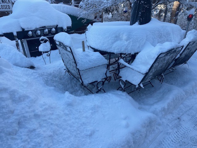
Thad – Monument
Brenda – Pueblo
Teresa – Monument
Judy and Daffy
Carol and Gigi – Rockrimmon
FOX21 Digital Producer – Ashley – sent in this amazing photo of a snow-sculpted unicorn!
In addition to Phil, “Waffles,” the Cheyenne Mountain Zoo’s 8-year-old Cape porcupine, also made her big decision regarding an early Spring or more Winter last week. Click here to see what she’s calling for.
WAFFLES – Cheyenne Mountain Zoo

