A warm and breezy day on Tuesday with high clouds is certainly the warm before our mid-week storm. A cold front moving south across the area early Wednesday will drop temperatures 20 to 25 degrees for Wednesday.
The cold air coming in from the north will beat the upper-level system that will be approaching from the west. Early Wednesday morning it’ll be parked near Las Vegas. Notice in the graphic below that we expect the circulation to be “closed” – indicating a mature storm (notice the white lines that make a circle in the center of the storm – wind in the upper levels of the atmosphere follows the white lines). However, unlike late last week when it looked like the storm would stay mature as it moves east, it now looks more likely that the storm will weaken and “open up” as it moves south of Colorado. Use the arrows below in the slideshow to see the upper-level storm weaken as it kicks east.
It’s unfortunate that the storm looks to be weakening on the way in and heading pretty far to the south. Because southern Colorado in particular needs some snow. In the image comparison below (use slider) you can see that the river basins in the central part of the state have near or even slightly above average snow pack. These areas have seen a notable improvement in drought conditions over the last six months. There were areas of extreme and exception drought in these locations late in the summer – now they are “abnormally dry” or in moderate drought.
In contrast, the southern tier of Colorado is well below average on snow pack and has seen drought deepen over the last seven months. The Colorado/New Mexico/Oklahoma line has seen extreme drought conditions creep in, while the rest of the plains are in severe drought.
Timing of the snow is depicted below in the slideshow. Use the arrows to move forward or backward in time.
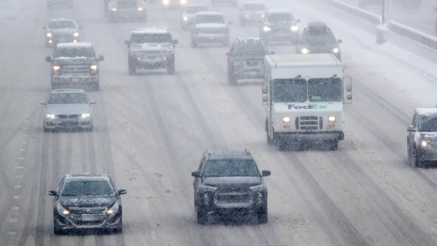
Given the expected timing, our Wednesday evening and Thursday morning commutes are likely to be impacted by the storm. It’ll depend where you are for the Wednesday evening commute – but the mountains, Pikes Peak Region, and Raton Pass are most likely to have wintry travel conditions. More areas will have impacts out the door Thursday – even for areas where snow has ended, roads are likely to be icy and snow packed.
A couple days out from the storms arrival, one of the things we look for as we start working on how much snow will actually fall is how are different computer models agreeing on the pattern and magnitude of snow. You can see in the European (ECMWF) and American (GFS) models below that there is general agreement the mountains will get more snow than the plains. We’ll start adding some numbers when we create our official snow forecast. I’ll likely have a first look Tuesday morning. Tune in!

