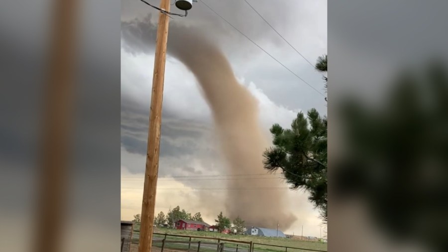
DENVER (KDVR) — The National Weather Service released results from a damage survey Wednesday after a tornado event occurred in the plains to the south and east of Denver on Sunday, May 18.
The NWS said it tracked four separate tornadoes on Sunday. The first and last tornadoes to appear were deemed “uncharacteristically strong landspouts,” while the second and third tornadoes were more strongly associated with a parent storm, known as a supercell.
Three of the tornadoes were classified as EF2s and the other as an EF1.
The Enhanced Fujita Scale classifies tornadoes into categories based on wind speeds, including:
EF0: 65 to 85 mph
EF1: 86 to 110 mph
EF2: 111 to 135 mph
EF3: 136 to 165 mph
EF4: 166 to 200 mph
EF5: 200 mph and over
Elkhorn Ranch — EF2
Estimated peak wind: 125 mph
Path length: 0.94 miles
Path width: 50 yards
Fatalities: 0
Injuries: 0
Start: 1:07 p.m., May 18. 6 SSW Oea Building, Elbert County. Latitude/Longitude: 39.5584, -104,6226
End: 1:12 p.m., May 18. 5 SSW Oea Building, Arapahoe County. Latitude/Longitude: 39.5693, -104,6123
Manila Road — EF1
Estimated peak wind: 95 mph
Path length: 2.53 miles
Path width: 75 yards
Fatalities: 0
Injuries: 0
Start: 1:23 p.m., May 18. 2 NE Oea Building, Arapahoe County. Latitude/Longitude: 39.6614, -104.5519
End: 1:32 p.m., May 18. 4 SSW Manila Village, Arapahoe County. Latitude/Longitude: 39.6917, -104.527
Bennett — EF2
Estimated peak wind: 125 mph
Path length: 5.09 miles
Path width: 200 yards
Fatalities: 0
Injuries: 0
Start: 1:30 p.m., May 18. 3 SSE Manila Village, Arapahoe County. Latitude/Longitude: 39.7191, -104.4848
End: 1:46 p.m., May 18. 1 NMW Bennett, Adams County. Latitude/Longitude: 39.7706, -104.4394
NE, Bennett — EF2
Estimated peak wind: 112 mph
Path length: 4.62 miles
Path width: 400 yards
Fatalities: 0
Injuries: 0
Start: 1:40 p.m., May 18. 2 NNE Bennett, Adams County. Latitude/Longitude: 39.7838, -104.4074
End: 1:55 p.m., May 18. 6 NNE Bennett, Adams County. Latitude/Longitude: 39.8397, -104.379
The NWS said that this data is preliminary and may change pending final review of the events and publication in NWS Storm Data.

