COLORADO SPRINGS — A new piece of forecasting technology launched Tuesday from Florida’s coast to give meteorologists around the world a new tool from above.
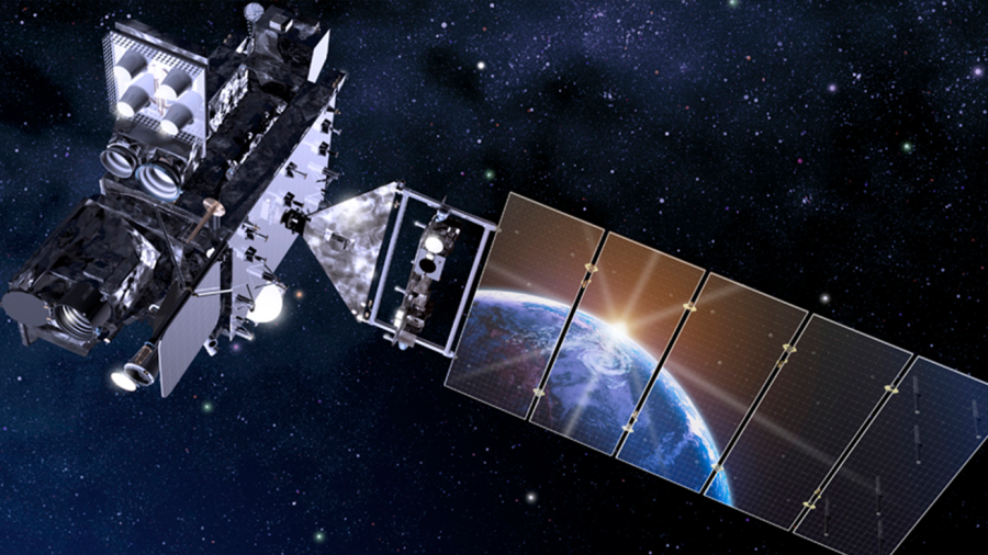
It’s called GOES-T, which is NOAA’s third satellite in the Geostationary Operational Environmental Satellites (GOES) – R Series, the Western Hemisphere’s most sophisticated weather observing and environmental monitoring system.
The satellite was built in Littleton, Colorado by Lockheed Martin before it reached its final stop in Cape Canaveral, Florida.
The GOES-T satellite will help give forecasters and researchers a better understanding of storms, improve weather science research and find hazards ahead of time for the western U.S. with new technology.
A United Launch Alliance (ULA) Atlas V rocket with NOAA’s GOES-T satellite at Space Launch Complex-41 at Cape Canaveral Space Force Station, Florida, on Feb. 28, 2022. Photo credit: United Launch Alliance
“If you’ve got multiple views of the planet you can start getting a much better handle on when hurricanes are forming, where they are forming, how intense they are,” Rick Spinrad, NOAA administrator said.
Combined, the satellites can continuously observe the western hemisphere, improving weather prediction and mapping Earth’s weather, oceans and climate every 30 seconds compared to 15 minutes by satellites before.
But it’s the new technology that most are excited for.
As our wildfire activity increases across the western U.S, GOES-T will also help locate wildfire hot spots, predict the motion of fires, and monitor smoke output and air quality effects from smoke.
GOES-T will also identify lighting strikes most likely to start fires to alert firefighters ahead of time.
“We can do rapid scans, higher resolution with higher sensitivity and include things for the first time like a lightning mapper I don’t think we could imagine not having GOES capability we absolutely need it,” Heath Hockenberry, National Fire Weather program manager said.
Additional GOES-T highlights are:
✓ Providing critical data over the northeastern Pacific Ocean, where many of the weather systems affecting the continental United States originate
✓ Fire detection, monitoring, and intensity estimation
✓ Detection of low clouds and fog
✓ Hurricane track and intensity forecasts
✓ Monitoring of atmospheric river events than can cause flooding and mudslides
✓ Monitoring of smoke and dust
✓ Data for air quality warnings and alerts
✓ Detection of volcanic eruptions and monitoring of ash and sulfur dioxide
✓ Sea surface temperature data for monitoring fisheries and marine life
✓ Warning of space weather hazards responsible for communications and navigation disruptions and power blackouts
✓ Monitoring of energetic particles responsible for radiation hazards
As GOES-T reaches geostationary orbit, it will be renamed GOES-18.
GOES-18 will be positioned to watch over the western contiguous United States, Alaska, Hawaii, Mexico, Central America, and the Pacific Ocean.
For more information on the GOES-T satellite, visit NOAA’s website.

