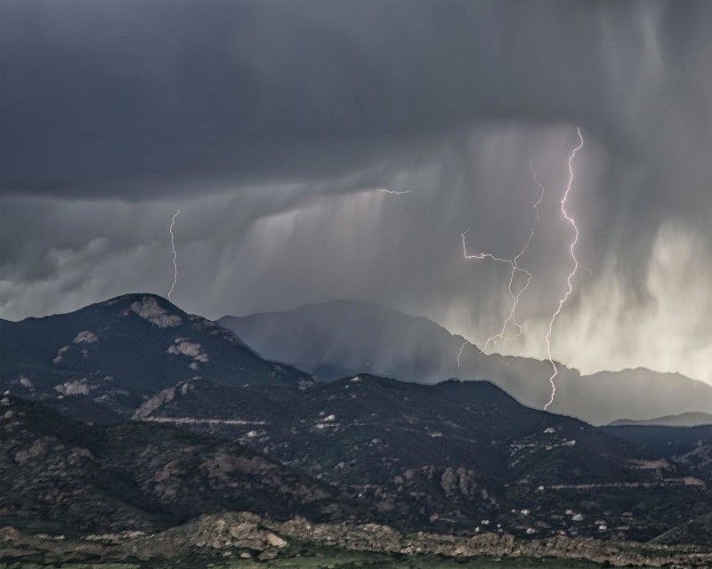
Two waves approaching Colorado from the west will combine with ample moisture to produce a very active day of weather over southern Colorado on Friday.
Torrential rain is expected from the strongest storms today and with recent heavy rain and flooding conditions are ripe for additional flash floods to occur this afternoon into tonight. Eastern Colorado from the Arkansas River northward over the Palmer Divide has the highest risk of excessive rain in the entire country on Friday.
Staying safe during flash floods is incumbent on the individual to be ready to take immediate action if waters rise – and thankfully, it’s pretty simple. Get to higher ground! Climb out of a creek bed, or head to the second story of your home or office (if you have one).
The threat for flash flooding will remain through at least the middle of the evening before slowly decreasing as storms gradually weaken and move away.
Motorists are at particular risk during flash flood events and it takes surprisingly little water to float a vehicle and to sweep it away. Also, never cross a flooded road – you don’t know if the road has been washed out underneath!
The strongest storms on Friday will not only put down a lot of rain, but are likely to produce large hail between 1.5 and 2.5″ in diameter, similar to Thursday when Fort Lyon got 2.5″ hail! The brighter red areas may also see an isolated tornado thanks to the turning in the atmosphere today.

