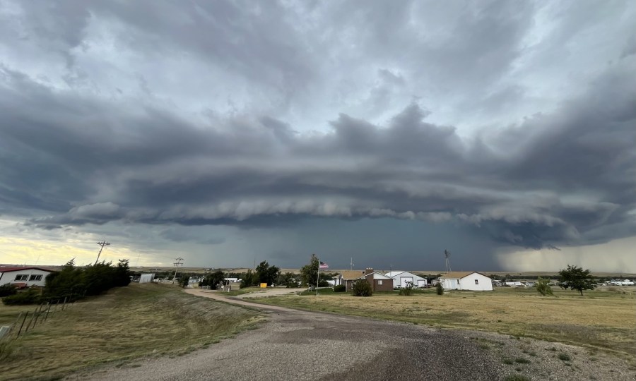
(SOUTHERN COLORADO) — A generous push of monsoon moisture will allow for another round of showers and storms on Monday, Aug. 19. This time around though, we may have enough energy in place to also encounter some severe weather.
A nearby high-pressure system has kept us quite warm the last few days and will continue to keep us warm most of this week. However, its position will shift into a spot that will allow extra moisture to leak into the region.
On top of the moisture, we also have plenty of CAPE in the area. CAPE, or convective available potential energy, is one of the key ingredients for severe weather.
As you can see above, the bright purples/whites indicate a fair amount of energy for storms to work with on Monday. The early afternoon specifically appears primed for severe weather chances.
The Storm Prediction Center is also keeping an eye on the ingredients in play as they have issued a level two ‘slight’ risk for severe storms – mostly over the Pikes Peak Region and Palmer Divide. Large hail, damaging winds, and frequent lightning will likely be our main hazards.
As far as timing goes, here’s what the latest model guidance is hinting at:
Storms are expected to fire up just after lunchtime, as usual, and continue to push further into the plains over the next several hours. Notice the oranges, reds, and pinks indicating we will likely have enough instability in play for these storms to get strong quickly. Activity may very well linger into the evening hours too.
Be sure to check back in with the FOX21 Storm Team early Monday morning for the most up-to-date forecast.

