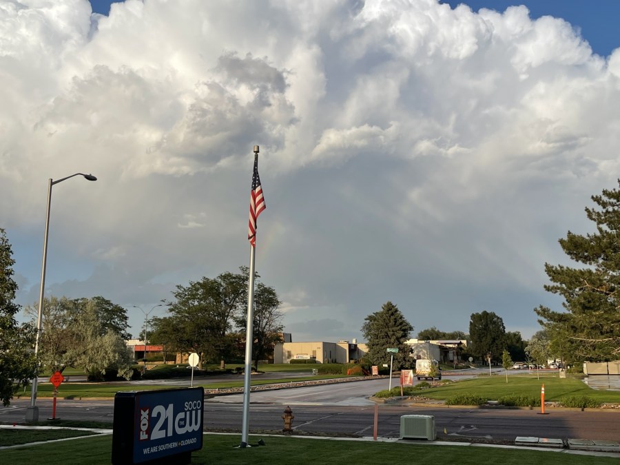
(SOUTHERN COLORADO) — Severe weather appears likely for much of Southern Colorado today as we head further into summer and July. As of the early afternoon on Sunday, July 7, strong thunderstorms have already begun to develop in and around the Palmer Divide.
For threats on Sunday, all hazards will be in play but large hail and damaging winds will be most abundant. Models do continue to indicate some spin in the atmosphere, however, meaning a tornado or two cannot be entirely ruled out.
Here’s a look at recent high-resolution model data for timing:
Storms will fire up over El Paso County, to begin with, with large hail being the primary threat during the early afternoon.
By dinner time, a second round of strong to severe storms will be possible up over the Palmer Divide as our cold front passes through. Hail and damaging winds will once again be the primary threat here.
As the evening progresses, a strong line of thunderstorms may develop by the 8 or 9:00 hour across Southern Colorado. This line will pose a large risk for damaging winds and large hail as it pushes from north to south. Models are also highlighting the potential for these storms to be spinning at this time, so a tornado or two will be possible.
As we head into the very late evening hours (and after midnight), our severe weather threat will transition to the southeast side of the state. All severe weather hazards will be in play at this time so be sure to have multiple ways to receive your warnings – even during the overnight hours.

