After a slight “warm up” Wednesday a strong, modified-arctic cold front, will move across the eastern plains of Colorado early Thursday. Wind out of the NNE will pick up behind the front with high temperatures occurring during the morning and then dropping in the afternoon.
Clouds will fill in, and during the afternoon light snow will sag south out of Denver into the Pikes Peak Region – perhaps in time for the evening commute.
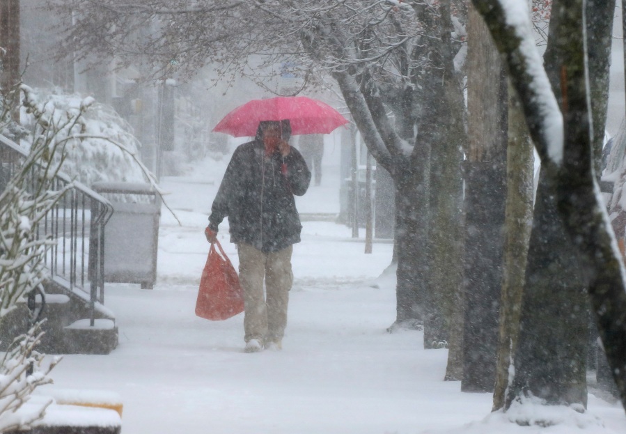
If initial snow melts in the late afternoon or evening, we’ll see icy roads into Friday morning because temps are going to keep dropping overnight. Snow will continue too as it overspreads the viewing area from east of the Continental Divide and out across parts of the plains.
It’s going to be the fluffy, airy type snow which will accumulate across parts of the area. Expect a few inches over the higher terrain south of Pueblo and in the Pikes Peak Region. The slopes of Pikes Peak, the west side of Denver and west of the Mile High City into the mountains should get the most. Sometimes roads don’t get too bad with fluffy snow – cars will just blow it off to the sides of the road as they move through. It will depend on how quick we get into the single digits and teens and what time snow starts in your area.
Snow early on Friday will decrease through the morning from north to south and sun will come out, especially over northern areas through the afternoon. Don’t expect that to help temps though! We may not hit 20 on Friday for parts of the Pikes Peak Region.
Clearing Friday night means a really cold start to the weekend, before a warming trend begins during the afternoon.

