(SOUTHERN COLORADO) – A less windy (yay!) and much cooler day is on tap. Showers will develop over the Pikes Peak Region in the late morning and will remain around the area into the evening. Snow level will drop through the afternoon, likely to below 6,000′ which means that Colorado Springs proper, and even the southern end of the metro area around Security-Widefield, and perhaps even Fountain may see snowflakes – and even some light accumulation on the grass and trees.
Precipitation chances and potential impacts
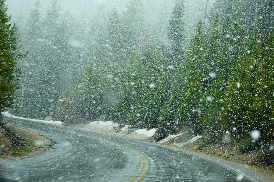
There might be some impacts for drivers on the roads, particularly under the heavier showers, as the big, wet early-season snowflakes could reduce visibility. You should always use a little extra caution when roads are wet too, and the likelihood of roads becoming slushy today seems pretty low.
While Colorado Springs proper may get some snow on the cooler surfaces, it’s the higher terrain surrounding the city that is most likely to get up to a couple inches.

