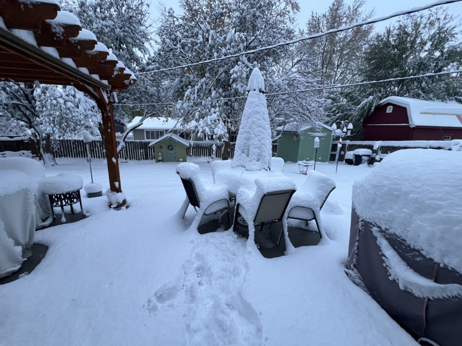
(SOUTHERN COLORADO) – As of Wednesday morning at 8am snow has been heaviest over the higher terrain of the Pikes Peak Region and the mountains southwest of Pueblo.
While snow will continue into late Friday night or early Saturday depending where you are, we’re going to take snow in 24hr chunks. The forecast below is for additional through early Thursday. By the time the storm is done some areas in the southern Sangre de Cristos and around Fisher’s Peak State Park east of Trinidad could have four feet or more!

