(COLORADO SPRINGS) — It was a very busy morning for weather in the Pikes Peak region on Thursday, Sept. 5. A strong cold front moved through the area on Wednesday, Sept. 4, setting the stage for a variety of active conditions on Thursday including some snow on America’s Mountain.
Morning showers and storms were present for the lower elevations, but some of our mountain peaks saw a light dusting of snow. Radar indicated strong updrafts with the thunderstorms overnight and into Thursday morning, which may have helped to boost parts of the snow-making process at higher elevations.
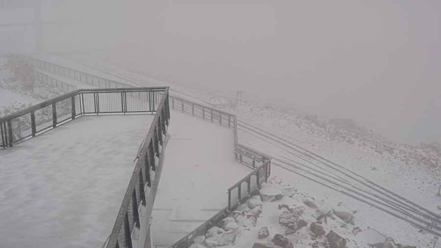
Live cameras on Pikes Peak captured the snowy scene on Thursday. Reports also came in of some snow falling near Berthoud Pass and portions of Rocky Mountain National Park.
From the weather camera at Rocky Mountain National Park, we can see at least a light dusting of snow on the tops of the mountains where temperatures are coolest. Notice the green in the foreground where elevations appear similar to the snow-covered peaks in the background. It doesn’t take much of an elevation difference to see a drastic change in precipitation.
Here locally, The Broadmoor’s Cloud Camp also saw some brief wintry weather. Live weather cameras caught what looked like a few flakes falling from the sky.

