A storm moving through Colorado Thursday night and Friday isn’t a very cold one, particularly by January standards. Because of the lack of really cold air, elevation and proximity to the heart of the storm will play an important role for snow amounts and travel impacts.
South of Highway 50
Biggest impacts will be felt in this area where not only will the higher terrain away from the Arkansas River play a role, but the proximity to the center of the storm that will be moving across New Mexico into the Texas panhandle.
Snow will begin in these areas this evening, and east of Interstate 25 may even start out as rain before changing over to the heavy, wet-type snow more associated with spring than January.
Pikes Peak Region
Snow in the Pikes Peak Region will begin mainly after the evening commute on Thursday. Elevation will play a very important role in El Paso and Teller County, as will the shape of the terrain – we will be farther away from the center of the storm and will need to rely more on upslope flow against the eastern slopes of Pikes Peak and the Rampart Range and the southern slopes of the Palmer Divide to provide extra lift and colder temperatures.
This region is a bit harder from a forecast perspective versus areas farther south, so note both the low end of the range, which is more likely, and the high end that may tend to be more isolated in nature.
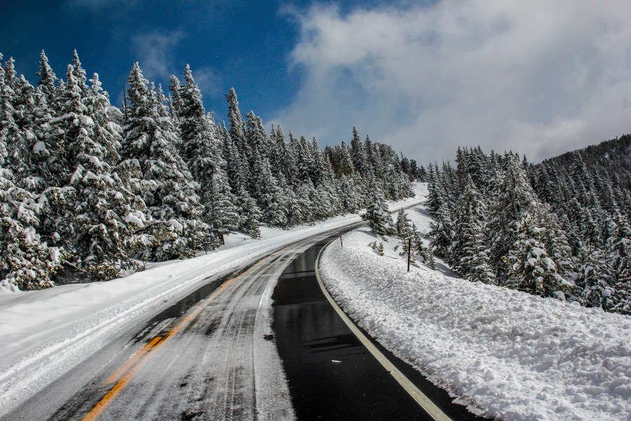
In terms of impacts many roads may end up wet on Friday morning, especially across El Paso County due to the relatively warm nature of the storm. Most of the “sticking” snow may end up on trees and grass and cars. Bursts of snow or areas with higher totals will be more likely to see some slush on roads during the Friday morning commute.

