A quiet start to Thursday gives way to perhaps a snow shower or two late in the morning along the Front Range, but snow becomes likely for many areas through the remainder of the day.
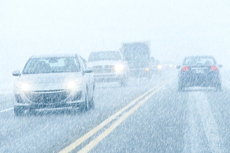
While it won’t be a particularly heavy snow it doesn’t time out well for the afternoon/evening commute. Drivers should expect the typical reduced visibility as the snow falls. Many mountain are likely to stay below freezing on Thursday so roads may begin to hold snow and slush up or even turn icy in the afternoon depending on elevation.
In the heart of the viewing area along Interstate 25 the roads seem most likely to be wet or slushy in spots through sunset, when slushy roads begin more likely to turn icy. The good news with this storm is that there isn’t much wind, so blowing and drifting isn’t expected to be an issue.
The snow should end for most areas by Friday morning, but expected some lingering impact and icy spots due to temperatures in the teens and 20s as Friday begins.
A general 1-3″ of snow is expected for most areas before the snow ends early Friday although the southern I-25 corridor from Walsenburg to New Mexico, the mountains southwest of Pueblo, and the Raton Mesa into Baca County could get 4-5″ in areas.

