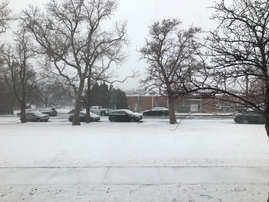
COLORADO SPRINGS — It was a cold and snowy weekend across Southern Colorado, and the mountains and ski resorts scored big with snow.
A series of low-pressure systems moved into Colorado Friday night into Saturday bringing much colder temperatures and snow. Sunday’s system brought widespread snow and accumulation.
Snow will continue through Monday evening before tapering off after midnight.
Here’s how much snow we’ve seen around the area:
Heavy bands of snow increased totals on Sunday across the southern mountain ranges and portions of the I-25 corridor
Our next round of snow and cold temperatures is set to arrive Wednesday night into Thursday. Arctic air surges from the north on Wednesday afternoon, and snow will increase overnight. Stay with the FOX21 Storm Team for the latest updates!

