(SOUTHERN COLORADO) — A classic storm is set to move into Colorado on Wednesday – classic in the sense that elevation will play a significant role regarding rain vs. snow, and how much snow – but not classic in the atmospheric pattern. In fact, this one is anything but!
Use the slider below to see how the storm approaches Colorado on Wednesday (slide to the right) and then moves away from Colorado to the Southwest on Thursday (slide to the left). To get the amount of water that computer models are spitting out with this one, we usually need the storm “closer to home” than it appears this one is going to be.
That said, there is enough Gulf of Mexico moisture streaming into the storm from the east, that even after the storm is getting farther away, moisture-laden upslope into the hills at the surface, and some subtle lift aloft out ahead of the storm should keep precipitation falling through Thursday.
As is typically the case in March, who gets rain and who gets snow, and how much snow, is the hardest thing to figure out with this one. While the eastern plains are likely to see mostly rain and probably no snow accumulation even if you do get a brief changeover. Areas in the gray and white are likely to see accumulation mainly on the grass with some brief slush on the roads possible if the snow falls heavy enough during the coldest stretch. Areas in the pinks and blues (notice how this is tied mainly to the higher terrain) are set to get some heavy snow.
Snow Total Likelihood – Pikes Peak Region
Use the arrows to view snow total probabilities for different areas.
Snow Total Likelihood – Pueblo and Vicinity
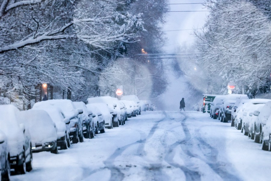
Regardless of elevation, the snow level lowering Wednesday evening into Thursday morning will make more areas likely to be dealing with some winter weather travel conditions by Thursday morning. Conditions may improve a little during the day Thursday as temperatures get near or above freezing depending on where you are and the snow rates decrease some during the day.
Over the next 24 to 36 hours more information about how much snow more areas should expect but hopefully this gives you an idea and illuminates what makes this storm so challenging and what we’re working on behind the scenes.
Use the slider to compare the European (slide right) and American (slide left) computer models for snow.

