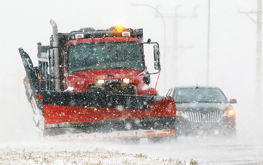
Snow will move in from the west on Tuesday afternoon and will gradually progress east into early Wednesday morning when moderate to heavy snow will be falling during the morning commute along the Front Range and heart of the viewing area as Wednesday will be a challenging travel day over southern Colorado.
Winter Storm Warnings go up from west to east from Tuesday afternoon into the evening and last through Wednesday for most areas.
With time during the day on Wednesday, the heaviest snow will shift east over the plains south of Highway 50. Wednesday night snow will decrease from west to east and end by sunrise Thursday morning. Even after the snow decreases, there will be enough wind east of the mountains to make blowing and drifting snow a continued issue for travelers with reduced visibility expected through the day.
Here’s how much snow we expect. Use the arrows on the slideshow below to zoom in to different areas of southern Colorado for more detail.

