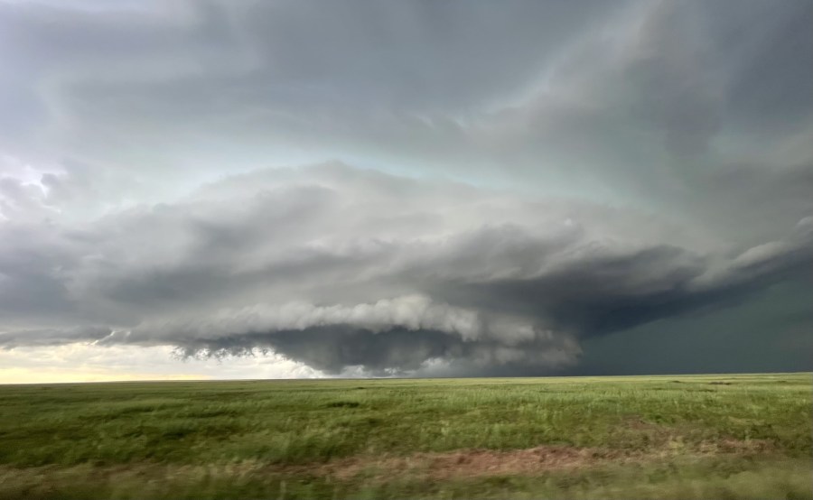
(SOUTHERN COLORADO) — An increase in monsoon moisture in the area will allow much of Southern Colorado to see showers and thunderstorms on Wednesday, July 26. Recent weather models are also indicating that we may see some of these showers and storms start a bit earlier than usual.
Lunchtime, or just before, is when some of these storms might start to fire up – especially over portions of the higher terrain. In addition to the earlier start, some of these storms may become strong to severe. Right now, it appears that areas along and east of El Paso and Pueblo counties will have the best chance to see severe weather.
The main threats would be for damaging wind gusts, frequent lightning, and hail roughly 1″ in size. Below are a few different timeframes for what these storms may look like later today.

