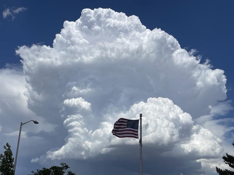
(SOUTHERN COLORADO) — Chances for showers and storms are expected to increase this weekend with plenty of moisture available. Strong to severe storms will also be possible.
As of Friday, models still disagree on the extent of our severe weather chances, but the signal is strong enough to at least start planning. The main threats for severe weather over the weekend will be for damaging wind gusts, large hail, and frequent lightning. As always though, a tornado or two cannot be entirely ruled out.
Here are the current severe weather outlooks from the Storm Prediction Center:
Saturday will highlight most, if not all, of the region for severe weather chances. The I-25 corridor and the Eastern Plains appear to have the best chances, but our mountain communities may see some strong to severe storms too.
Sunday, a similar pattern sets up but the Denver metro through our Southern counties are expected to be included this time around. The I-25 corridor may be the hot spot for severe weather during this time along with the Eastern Plains.
As far as timing and strength go, models continue to disagree. Here is one model’s most recent storm-cast for Saturday.
According to this model, showers and storms will likely fire up over the higher terrain first before approaching our other northern counties. The timing of these storms also appears to be a bit later than what Southern Colorado might be used to.
By dinnertime, these showers and storms have a good chance of making their way into the lower elevations. A couple of different models agree with this solution so confidence is a bit higher. Strength of storms may also increase quite a bit at this point.
Showers and storms are expected to push off further into the Eastern Plains. A reminder, some of these storms could become strong to severe at any time during the afternoon.
Finally, after midnight, the majority of the severe weather threat should drift into the far southeast side of the viewing area. Areas such as Prowers and Baca counties may encounter severe weather at this point, so be sure to stay vigilant and aware well into the late evening hours.
Highs on Saturday are also expected to be a bit cooler. The I-25 corridor and the Eastern Plains can expect 80s for afternoon highs. The higher terrain and mountain communities can anticipate some 70s and lower 80s.
Depending on coverage and timing of these showers and storms, daytime heating may be limited resulting in even cooler temperatures.

