(COLORADO) – Colorado has experienced a dramatic weather shift over the past week, swinging from extreme drought conditions to record-breaking rainfall in just a matter of days.
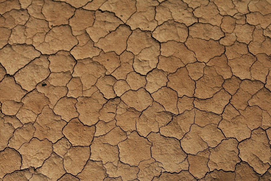
According to last week’s U.S. Drought Monitor, large portions of western Colorado, including the San Luis Valley and the Western Slope, were suffering from severe to extreme drought. Dry conditions had persisted for months, leading to water shortages and heightened wildfire risk.
Fast forward to the latest drought map released on Thursday, Oct. 16, and the changes are very different. Many areas that were previously in drought have now shown significant improvement, with some even being removed from drought classification entirely. Western Colorado, especially around Grand Junction, saw the most notable changes.
The reason? A major surge in precipitation. New data on the percent of average precipitation shows massive increases, particularly in the San Luis Valley, areas south, and the Western Slope. Much of the region saw rainfall totals well over 100% of average, with some areas recording between 400% to 800% of their usual precipitation for this time of year.
This sudden influx of rain led to flooding in several locations, showing waterlogged streets, damage, and overflowing streams of bodies of water.
Just how much rain fell? Here’s a snapshot of some of the highest rainfall totals:
Bayfield: 7.05 inches
Pagosa Springs: 6.93 inches
Silverton: 5.44 inches
Durango: 5.29 inches
To put that into perspective, these areas typically receive 15 to 20 inches of rain per year. That means some locations received a third of their annual rainfall in a single event. While this intense rainfall has been beneficial for reducing drought, it also highlights the risks that come with such rapid weather changes, and particularly flooding.
Going forward, the hope is that more balanced, sustained precipitation patterns will help keep drought at bay without triggering further extreme events.

