(SOUTHERN COLORADO) — A cold blast of air and a spinning low-pressure system are bringing a healthy amount of snow to the region. A solid blanket of snow appears to be draped over much of eastern Colorado as of Saturday late afternoon.
The system will continue to drift through our area tonight, on into Sunday morning. However, before it departs, more snow is expected for most of us.
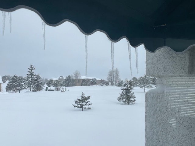
Storm Team meteorologist Robert Hahn (above) measured just over 6 inches in the Black Forest area earlier this afternoon.
Storm Team meteorologist Ryan Matoush measured nearly 4 inches of snow (above) earlier this afternoon in southern Colorado Springs. Reports have been coming in slowly throughout the day. The Storm Team has also caught wind of 7-inch snow reports near Voyager and Interquest.
Multiple winter headlines remain active across much of the viewing area; specifically along and east of the I-25 corridor. Winter weather advisories and winter storm warnings go through early Sunday morning when this system will start to depart the area.
The four images above show how models are handling the remainder of the snow over the next 12 hours or so. Most of the viewing area can expect at least light snow through the dinnertime hours, but the energy will slowly dissipate from north to south.
Once the snow has stopped and we head into the second half of the weekend, we should be watching for some cooler temperatures. Highs will generally be in the upper 30s and lower 40s for the lower elevations on Sunday. Parts of the high country and mountains will be in the upper 10s and 20s.
Mostly sunny skies will then move in for the beginning of the week as we look forward to temperatures near 50 by Wednesday.

