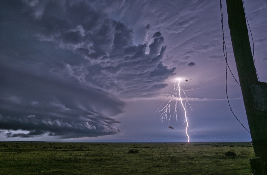
After an afternoon and evening of severe thunderstorm warnings across the Front Range and eastern plains on Wednesday, the stage is set for even stronger storms over the area Thursday.
Pikes Peak Region
Storms will develop in Park and Jefferson County over the mountains to the northwest of the Pikes Peak Region in the late morning and move into Teller and El Paso Counties shortly thereafter. There are likely to be one or two supercell thunderstorms moving to the southeast at 20-25mph.
These storms may produce significant severe weather, including:
Very large hail between 2″ and 3″ in diameter (golf ball to baseball size)
Damaging wind gusts between 55 and 70 mph
Tornado
Cañon City to Pueblo
This is one of the more challenging areas to forecast on Thursday as storms are likely to initiate on the higher terrain. What’s most likely is for initial severe storms in the Pikes Peak Region to miss Pueblo to the northeast and for storms forming over the Wet Mountains to miss the highway 50 stretch from Cañon City to Pueblo to the south.
The wild card is rain-cooler air (outflow) rushing away from storms. These outflow boundaries act as mini cold fronts and can cause storms to develop away from the terrain, especially if they interact with or collide with another outflow boundary. These collisions will often occur along the Arkansas River as storms to the north and south of the area reach mature stage and produce accelerating rain-cooled air.
If a storm approaches or develops over the area on Thursday they may produce:,
Very large hail between 1.5 and 2.5 inches is possible (ping pong to tennis ball)
Wind gusts between 50 and 70 mph
Tornado
Wet Mountain Valley & Wet Mountains
Colorado City to Trinidad
Storms will develop over the mountains in the early afternoon and move over the Interstate shortly thereafter. There are likely to be one to three supercell thunderstorms moving to the southeast at 20-25mph.
These storms may produce significant severe weather, including:
Very large hail between 2″ and 3″ in diameter (golf ball to baseball size)
Damaging wind gusts between 55 and 70 mph
Tornado
Eastern Plains
Storms that begin as discreet cells farther west will begin to congeal into a cluster of storms as they advance east during the afternoon.
As the storms merge the threat for very large hail will decrease somewhat but the wind threat will increase significantly. Storms may produce:
Damaging straight-line wind gusts between 60-80mph
Embedded short-lived tornadoes
Large hail between 1.25 and 2.25″ in diameter (half dollar to hen egg)
Torrential, flash-flooding rain
The potential for flash floods will increase compared to areas farther west as very heavy rain may last for a longer period of time underneath the cluster of storms. Additionally, some areas received flash floods on Wednesday – highway 350 was closed southwest of La Junta during the evening with road damage and flooding between mile markers 47 and 48.
A flood watch has been issued for the afternoon and evening.

