(SOUTHERN COLORADO) — After receiving several emails and questions on social media specifically about how hail forms, FOX21 Storm Team Meteorologist Megan Montero decided to delve into the topic on Monday, June 10.
To start, most hail comes from a thunderstorm cloud.
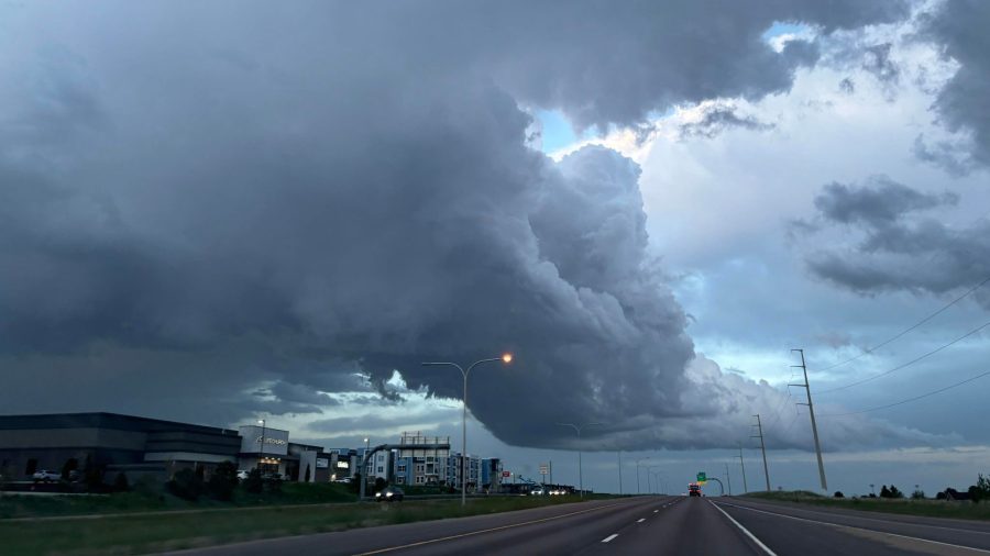
Thunderstorm clouds have a distinct shape that looks like an anvil and grow quite tall and large. You can see an example of what a thunderstorm cloud looks like in the video player above.
Next, and inside the clouds, are water droplets.
Thunderstorm clouds in particular “breathe” in warm air, called updrafts, and “breathe out” cool air, called downdrafts. Water droplets inside the cloud are then carried up by an updraft and as the water droplet rises, it eventually reaches a layer of the atmosphere where there are freezing temperatures. At that layer, the water droplet freezes.
The water droplet will then fall into a warmer layer, melt on the surface of the now ice crystal, and also gain some more water around its edge as it falls down. It will then be carried up by the updraft again, freeze, and increase its size.
This process will repeat over and over, all the while the diameter of the hail will grow in size and create a hail stone.
Eventually, the hail will get too heavy as it grows in size for the updraft to continually keep it in the cloud and the hail will fall out of the cloud to what you see on the ground.
As a general rule, meteorologists know that a thunderstorm is becoming strong or severe by its hail size.
If the hail is larger than one inch in diameter, or quarter size, that typically indicates a strong updraft which means the storm has become severe. Also, quarter-size hail is enough to damage your car.
The most costly hail storm for damage in Colorado Springs was in August 2018 where it brought more than $100 billion in damage.

