COLORADO SPRINGS- Enjoy the mild, warmer temperatures to close out January as the start of February will bring big changes. Our next storm system arrives Tuesday bringing snow, much colder temperatures, and travel impacts.
On Tuesday we’ll drop 20 degrees from Monday’s highs with most only reaching the 20s and 30s. Most highs will be hit early in the morning before temperatures start to drop through the day. Snow showers will begin by late morning-early afternoon over the mountains before spreading east. A Winter Storm Watch is in effect Tuesday evening through Wednesday for most of the I-25 corridor,
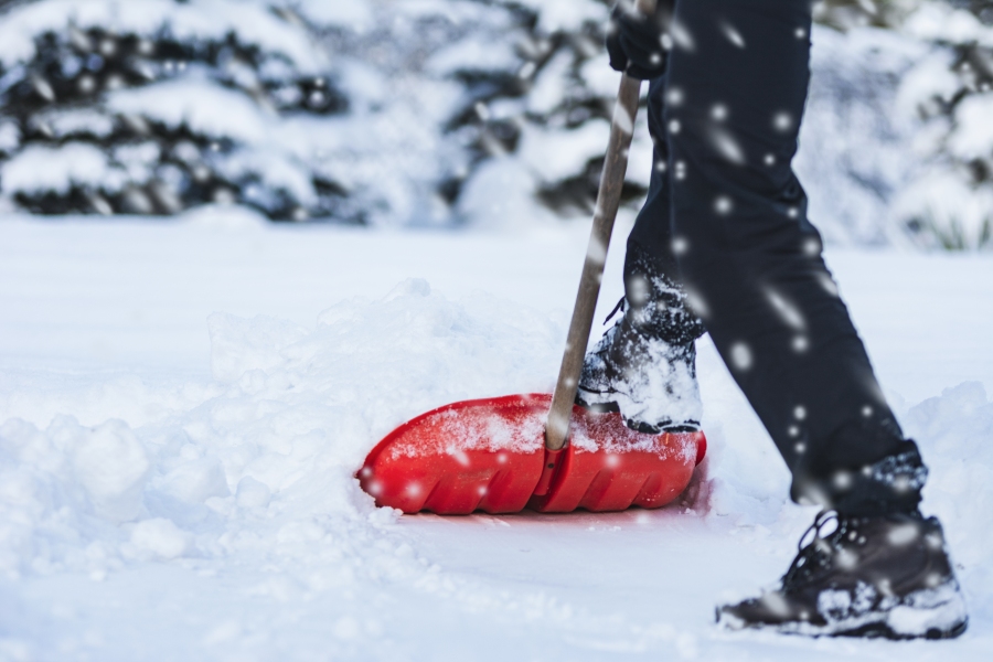
Snow develops late and sticks around through the day Wednesday. The Wednesday morning commute will be challenging with snow-packed roads, falling snow, limited visibility and very cold temps. It’s likely that a number of schools will close on Wednesday due to the temperatures and snow.
Travel impacts may be possible Tuesday PM to Wednesday PM
Moisture content with this system has increased from over the weekend. Most areas around Southern Colorado will pick up at least 3”. Our big winners with this system will be Sangre de Cristos, Wets, and mountains west of Alamosa, where more than a foot is possible in some cases. This moisture is much needed as most of Southern Colorado is running near a foot below average.
Snow accumulations by late Wednesday
Wednesday will be in the teens for the daytime high, with the low by Thursday morning below zero.
Snow will wind down late Wednesday or Wednesday evening and move out of the area by Thursday. From Thursday, sunshine returns and we begin a gradual warm-up until we reach the mid-40s by Saturday.
Stay with the FOX21 Storm Team over the next few days for the latest on the cold and snow!

