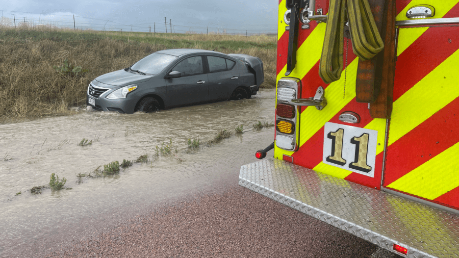
(COLORADO SPRINGS) — Monday night, Aug. 5, brought a good soaking of rain to southern Colorado, particularly from Fremont County into the Pikes Peak Region. A number of areas in the Colorado Springs metropolitan area had more than an inch of rain. While a Flash Flood Warning was issued Monday evening over central and southern sections of the city into Security-Widefield and Fountain, no major reports of flooding have been received.
Moisture remains abundant over the state as Tuesday begins. The monsoon plume remains in the mid-levels of the atmosphere and there is plenty of moisture at the surface with dewpoint readings in the 50s for some of the mountain valleys and 60s over the plains. At 8 a.m., the dewpoint of 60° in Colorado Springs is about as high as you’ll ever see.
This moisture will develop into thunderstorms that will be efficient rain producers again later today – and combined with saturated soils from last night – pose a flash flood risk if some of the stronger storms go over the same areas.

