(SOUTHERN COLORADO) — A strong spring storm will bring several weather forecasting challenges and travel impacts to southern Colorado through Tuesday, March 4.
HIGH FIRE DANGER ON MONDAY
Wind will pick up through the day on Monday, especially along and south of highway 50. While it will be windy over the mountains, east of the Rockies the relative humidity will drop to between 5% and 15% through the afternoon so a Red Flag Warning has been hoisted by the National Weather Service. Weather conditions will support the rapid spread of wildland and grass fires – please do your part to make sure we stay fire free in southern Colorado today.
PALMER DIVIDE
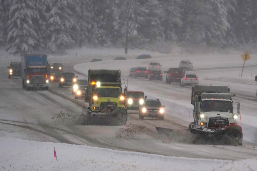
Things should be ok north and northeast of Colorado Springs until this evening when snow will develop very quickly, and become heavy at times prior to midnight. Visibility will be the biggest challenge between 8 and 10pm as the snow will reduce visibility significantly. Areas seeing snow at a rate of up to 1.5-2″ per hour may also see roads become slushy through the evening. Wind will greatly increase after midnight.
While the fallen snow may not blow around much or drift due to its heavy and wet nature, falling snow and wind will produce areas of whiteout conditions through the Tuesday morning commute. Travel isn’t recommend through the Tuesday morning commute north of Colorado Springs in Douglas, Elbert or Lincoln counties.
The snow should shift east of the Interstate by about 10am Tuesday, and assuming that the wet snow isn’t drifting, travel conditions should improve as temperatures will get above freezing through the day.
DOWNTOWN COLORADO SPRINGS TO PUEBLO
The biggest travel challenge between downtown Colorado Springs and Pueblo will be in the evening into early Tuesday morning when a burst of rain mixing with or changing to snow moves south along the Front Range. Big, wet flakes are likely to reduce visibility for areas getting the changeover to snow, but roads are more likely than not to stay wet. Conditions should improve early Tuesday morning prior to the commute for most as precipitation ends due to a strong north wind developing. Wind will continue through Tuesday along the Interstate between the cities with gusts up to 60mph possible in the morning. The strongest gusts will decrease in the afternoon.
SOUTH OF PUEBLO
A burst of snow this evening into early Tuesday morning should produce accumulating snow over the higher terrain on I-25 south of Pueblo. Increasing wind overnight will help to reduce visibility. Conditions should improve rapidly around and after sunrise early Tuesday.

