(SOUTHERN COLORADO) — A spring storm system will bring a wide variety of weather to the area on Sunday and Monday. Rain, snow, thunder, lightning, and fire weather will all be possible with this high-energy system moving by. Currently, the center of the low-pressure system is organizing itself over the Rockies.
Red Flag warnings are in place for much of southeastern Colorado from 11 AM to 7 PM on Sunday. Breezy and dry conditions will lead to elevated fire concerns.
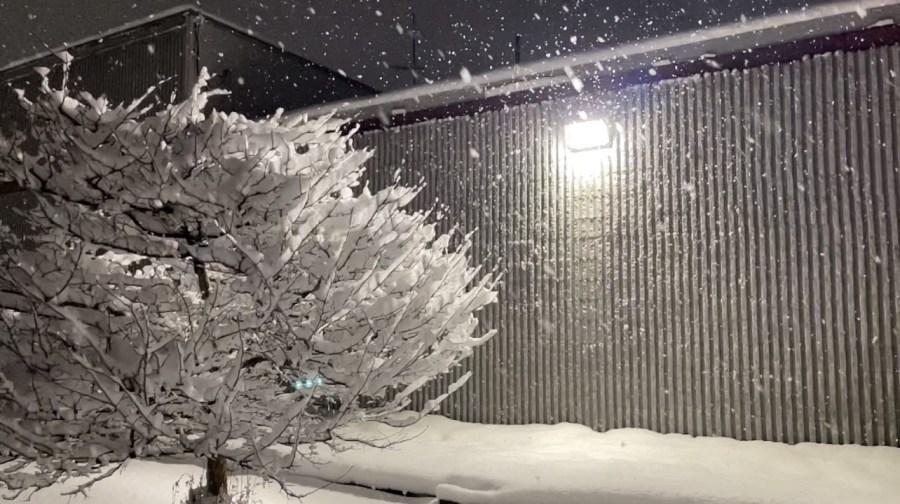
On the other side of things, winter weather will quickly organize across portions of the viewing area. Winter weather advisories are in place for several different spots with mostly terrain-driven impacts. Higher elevations will see more snow as the freezing line fluctuates through the lower elevations.
As far as timing goes, here is a look at how this system may evolve over the next couple of days:
Models continue hinting at a few isolated showers for portions of the eastern plains late Saturday night. A rumble of thunder or two will be possible. Then, early Sunday morning, most of the viewing area should see a brief clearing with mountain snow beginning out west.
By Sunday afternoon, scattered showers and storms will likely develop up and down the Front Range. Higher elevations should continue to see snowfall. By early evening, temperatures should begin to drop enough for snow to develop from north to south. The Pikes Peak Region will see the snow first as the evening progresses.
Late Sunday evening, counties further north will experience mostly snow. Pueblo and the surrounding areas may still very well see showers and thunderstorms. Conditions appear favorable for some thundersnow to develop at this time. Convective snow showers may lead to some particularly high snowfall rates for a short amount of time.
Come early Monday morning; all of southern Colorado will see snow while our system slowly wraps up. Activity will end from north to south as the morning progresses.
Here is what the FOX21 Storm Team has put together regarding snow totals. Higher amounts will impact the higher elevations, while a variety of amounts can be expected for the plains. Counties such as Las Animas and Baca may see some higher amounts as the storm system wraps up. The San Juans will likely see the most snow this time around, with 10 inches or more in the forecast.
The Arkansas River Valley will be a bit of a wild card, considering convective snow will be possible around here. That means periods of brief and heavy snow could cause snow totals to fluctuate.
Beyond the snow impacts, freezing temperatures are also expected. Notice how Saturday night’s lows mostly stay above freezing, with Sunday’s highs staying quite warm.
Sunday night into Monday is a much different story. The cold front moving through will freeze any moisture on the ground, with temperatures well below the freezing mark. Sensitive vegetation may very well be killed if left unprotected. Roads will turn icy quickly as the sun sets, so be sure to drive safely if you have to be out.
As with all Colorado storms, a lot can still change, so stay with the FOX21 Storm Team for future updates!

