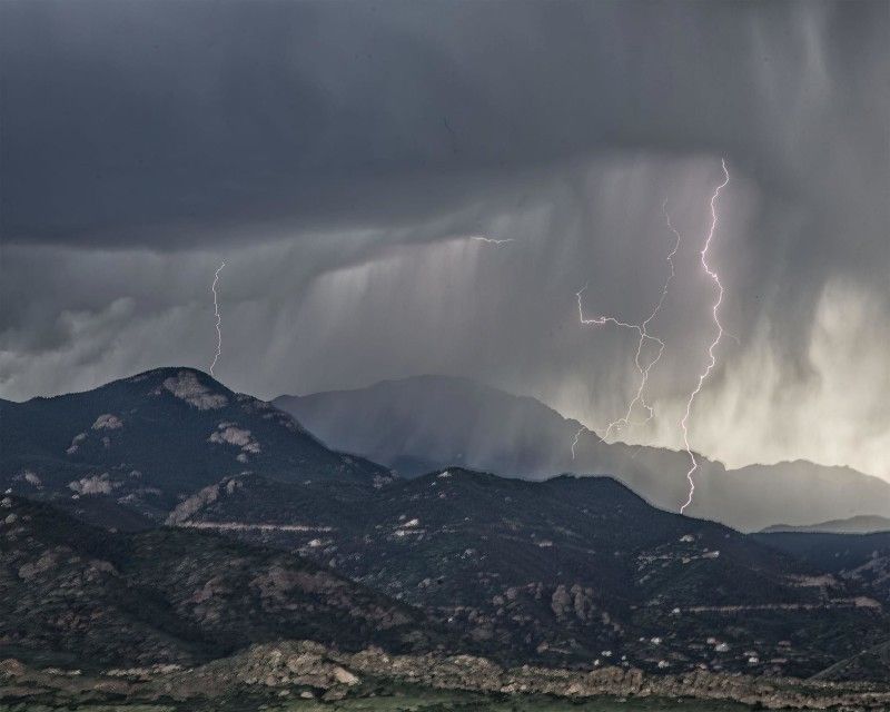
(SOUTHERN COLORADO) — Severe thunderstorms are often expected over eastern Colorado in early June.
The image below from the Colorado Climate Center shows a smoothed version of severe weather days over a two-week running mean (thick black lines). Significant severe weather reports are also represented over a running two-week mean (thinner blue line).
For tornadoes, the frequency ramps up through May and reaches a peak in early June, with a slow decline through the summer and into the fall.
The graph for severe hail looks similar, but shifted a little later: the peak is in mid-June. Wind reports from severe thunderstorms are more frequent later in the summer, with a peak in early to mid-July.
An average of all three types of severe weather reports puts the climatological peak of severe weather on June 10, so no big surprise we’ve got some in the forecast for the end of the week.
For Thursday, storms will strengthen as they move or develop over the eastern plains. Severe storms are certainly possible along the Front Range, but are a little more likely from Trinidad to Cheyenne Wells and most likely in the southeast corner of the state.
It is likely that a severe thunderstorm and/or tornado watch will be issued for parts of eastern Colorado later on today.
A WATCH means that ingredients are present for the possible formation of severe thunderstorms, and you should pay attention. It’s similar to Mom or Dad putting the ingredients for tacos out on the kitchen counter – get ready. A WARNING is like the tray of assembled tacos arriving at the table – it’s time to take action! Know the difference and be ready later today.
Download the FOX21 StormTeam app for Apple or Android to get a digital door knock from us in the weather center when storms are heading your way.
Click above to download the app.

