(SOUTHERN COLORADO) – An early morning cold front has increased low-level moisture over eastern Colorado. Dewpoints should remain above 50° for most areas east of the mountains as we hit the middle of the day Tuesday, June 17.
This moisture is the available energy for storms to form. Use the slider below to see if the storms form in the middle of the energy or on the edges.
Now that you know storms form on the edge of the energy and that our local terrain helps, as the storms move into the better energy, they’ll have the potential to produce some large hail today. The largest hailstones may be nearly 2″ in diameter.
Storms are likely to develop in the early afternoon over the Pikes Peak Region first and farther south through the afternoon.
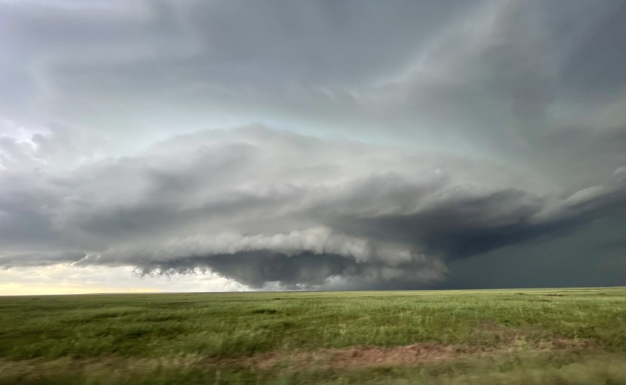
Storms will move to the southeast, but any storms that move more due south will be the ones to watch for potential tornado development. As the thunderstorm activity evolves eastward with time, it’ll begin to form into a cluster. At that point, the tornado threat will drop, and the threat for damaging straight-line winds will increase.
Most of the storms and the threat of severe weather should be in Kansas by about 8 pm.

