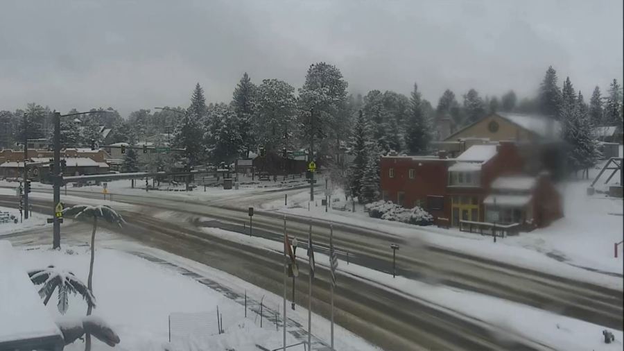
The incoming storm is not particularly cold, in fact, many areas are likely above freezing for at least a few hours during the day on Saturday when some of the heaviest snow is falling. So, the maps below are not only subject to change as we continue to hone in on where the storm circulation is actually going to be when it develops over Colorado early Saturday, but also represents the snow on the grass and decks versus the sidewalks or roads.
Expected snow totals
Dry snow vs wet snow
The warm nature of this storm is really going to impact what type of snow we get and how easy (read as “hard) it is going to be to shovel. This is also going to play a role on travel impacts…it won’t be as bad as you might be thinking with some of the amounts of snow I’m forecasting.

