(PALMER DIVIDE, Colo.) — We always talk about the weather in your neighborhood here at FOX21, but did you know your neighborhood makes weather too?
The state of Colorado has lots of different terrain including 58 mountains with peaks 14,000 feet or higher, an Eastern Plains region, two major river valleys that dissect Eastern Colorado, and a plethora of elevation changes, too. The land of each of these areas interacts with the atmosphere and creates its own weather, which we call microclimates.
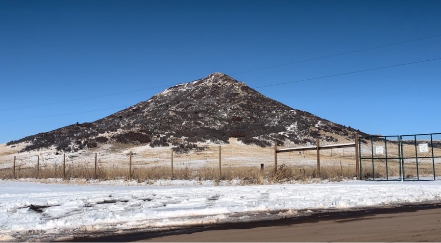
One of the areas of terrain that the Storm Team talks about frequently that helps make weather, is the Palmer Divide. It’s the hill between Colorado Springs and Denver that features forest and terrain. To get technical, the Palmer Divide is a geological ridge that separates the Arkansas River to the South and the Platte River to the North. It runs from Palmer Lake eastward and includes Castle Rock, Monument, and Black Forest. You might not know it, but some frequently drive through it on I-25 all the time. The highest point of the Palmer Divide is Bald Mountain, which is a little more than 7,800 feet in elevation.
To explain how the Palmer Divide makes weather, we have to think about how wind interacts with the land. If we have wind coming from the south that interacts with the divide, downtown Colorado Springs for most of the time is overcast because air has significant lift on the trip up from the Arkansas River. In a scenario where the wind comes from the north, often on the backside of a strong storm, the sinking air from, for example, Monument Hill at 7,343 feet to the Springs at 6,035 feet, is enough to erode precipitation and often clouds. So in scenarios like this, you could see snow in Monument and sunny skies in Colorado Springs.
Not only does the Palmer Divide play a role in summertime weather, but it also helps make weather in summer depending on the depth and strength of the storm system. It can help low-level wind and moisture to converge and help trigger thunderstorms during the warmer months.

