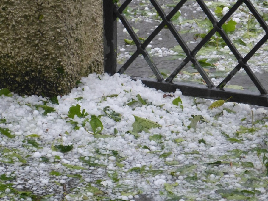
(COLORADO) — Over the past few weeks, we’ve seen our fair share of thunderstorms across Colorado, bringing not just heavy rain and strong winds, but also a decent amount of hail. Many of you have sent in hail photos through the FOX21 Storm Team Weather app, showing just how diverse these ice stones can look.
But did you know that each hailstone carries a “thumbprint” of where it was formed inside the storm?
When we look inside a thunderstorm, we find three distinct hail growth zones: dry, wet, and spongy. These zones determine the appearance of the hail that eventually falls to the ground based on the temperature it was formed.
At the top of the storm, where temperatures can dip as low as -30°C, hailstones grow through dry growth. This occurs when supercooled water droplets freeze instantly on contact with the hailstone. Dry growth hail is typically milky-white and rough in appearance, and it tends to grow more slowly due to limited moisture.
Closer to the bottom of the storm, where temperatures are closer to the freezing level, we enter the wet growth zone. Here, water droplets don’t freeze immediately and instead coat the hailstone in a thin layer of liquid before gradually freezing. This process creates hailstones that are clear and transparent.
In between the dry and wet growth layers lies the spongy growth zone. This area isn’t as cold as the top of the storm, but also not as warm as the wet growth layer. Hailstones here form in a mix of both processes, leading to opaque hailstones that look partially white, partially clear, and often feel lighter or “spongier” to the touch.
So the next time hail falls in your backyard, take a closer look. You may be able to identify the type of hailstone and where in the thunderstorm it formed.
If you capture unique hailstones or storm impacts, share them with us on the FOX21 Storm Team app, and we will share them on air or social media!

