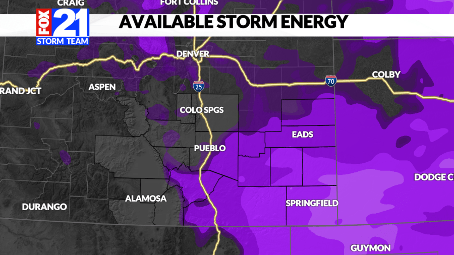
(COLORADO) – When storms are in the forecast, we often show a graphic known as Available Storm Energy, marked with purple colors (pictured below).
This graphic represents something known as CAPE. CAPE is very important for looking at storm development and where we could see the most severe storms.
CAPE stands for Convective Available Potential Energy, which describes the ability of air parcels to rise in the atmosphere. Essentially, when air rises, it creates the potential for thunderstorms, and in some cases, severe weather. The higher the CAPE, the greater the potential for strong storms. So, when you see brighter purple colors, it means there’s more energy in the atmosphere to fuel thunderstorms.
CAPE is influenced by a few key ingredients: warm temperatures and moisture at the surface. That’s why we pair it with other graphics like dew points and high temperatures. Together, these elements help us determine if conditions are right for storms.
With this knowledge, you’ll be able to better understand the storm energy graphic and the science behind forecasting severe weather.

